

Land intelligence platform
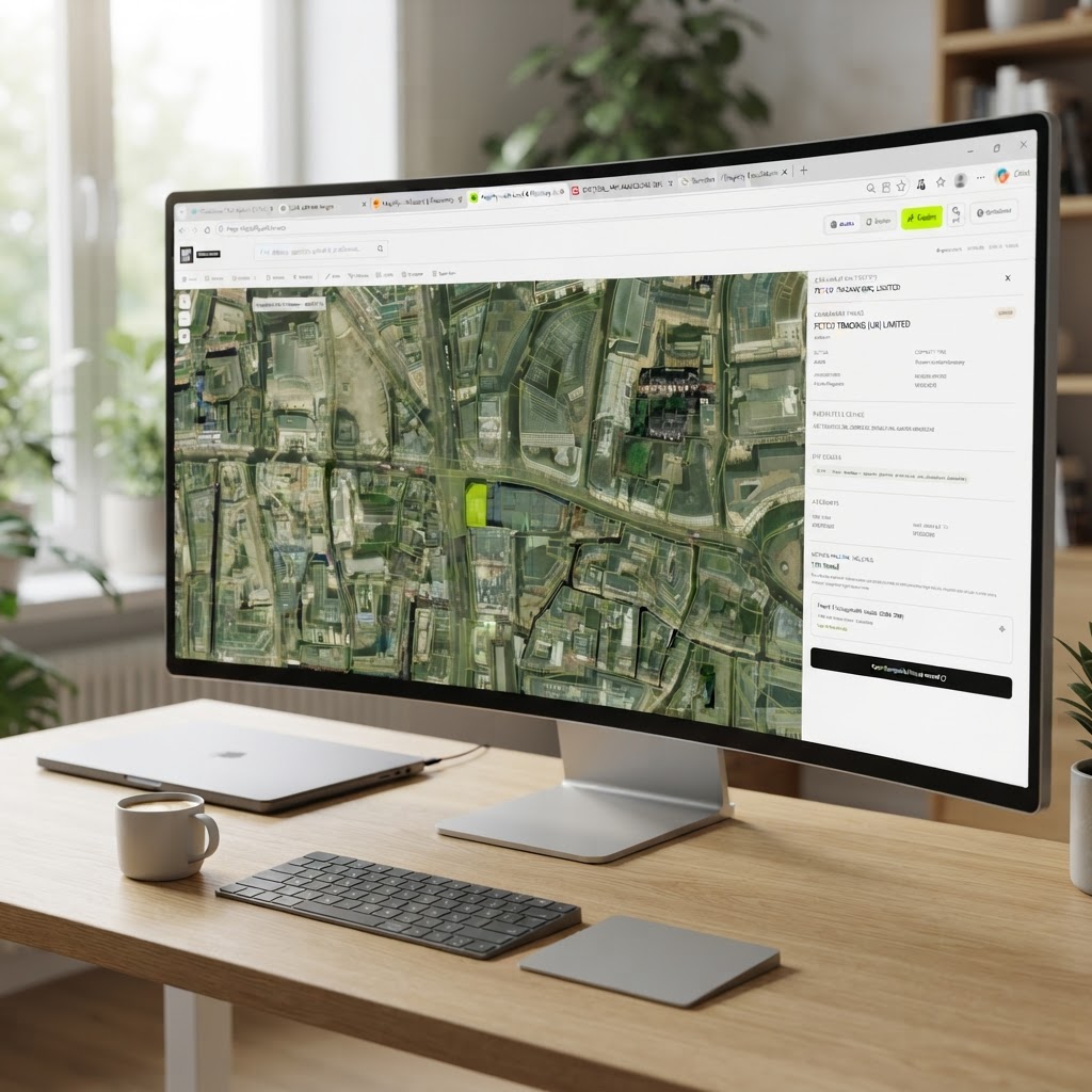
UK land intelligence & planning constraints map
Search planning constraints, land ownership, flood risk and 265+ official UK data layers for any site — then assess development potential in one platform.
Our Clients
Trusted by Leading Property Professionals











Maplify
More clarity with data-driven insight
Maplify is a land intelligence platform transforming how professionals research and assess viable opportunities. Access unmatched planning, ownership, environmental and infrastructure data — plus 265+ official UK data layers in an instant — for faster, more confident decision-making.
What you can do with Maplify
One platform for site finding and due diligence
Everything you need to qualify a site before committing time or money — in a single, fast interface.
265+ UK data layers
Planning constraints, Green Belt, heritage, ecology, geology, utilities and infrastructure — all from official government sources on one map.
Land Registry & ownership
Instantly view title boundaries and ownership records, including company and overseas ownership, for any site in England.
Flood & environmental risk
Surface every flood zone, contaminated land, radon, Source Protection Zone and environmental designation that could affect your scheme.
Planning applications
Search planning history across an area, filter by status and type, and read decision records without hunting through council portals.
Site sourcing & tracking
Save sites, draw boundaries, score opportunities and move them through a sourcing pipeline from first sight to offer.
AI feasibility reports
Generate professional site constraints and block plan reports straight from the map, ready to share with clients and colleagues.
Powerful tools, all in one place
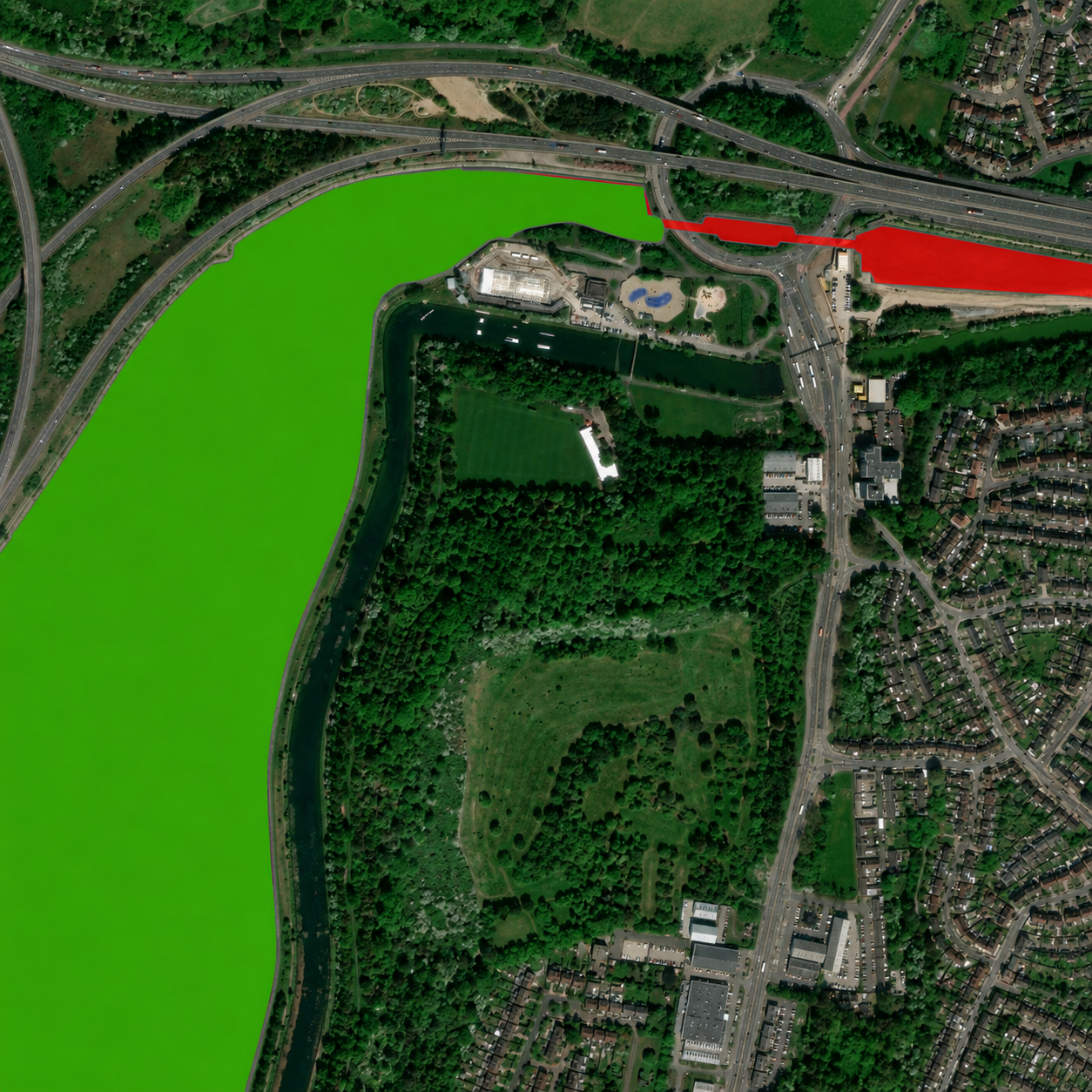
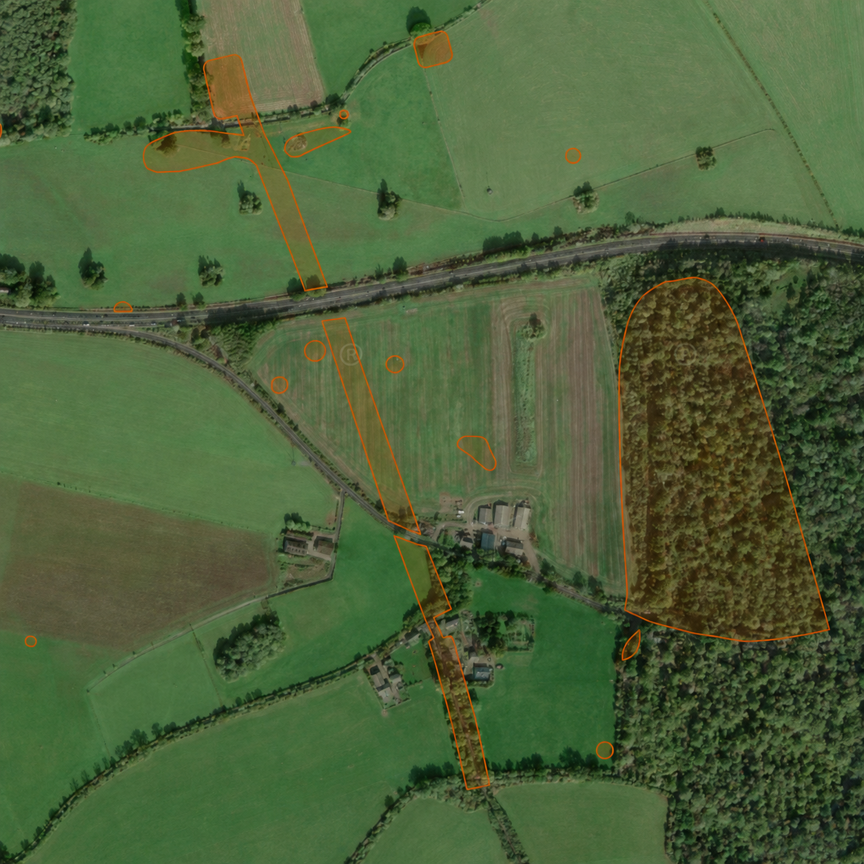
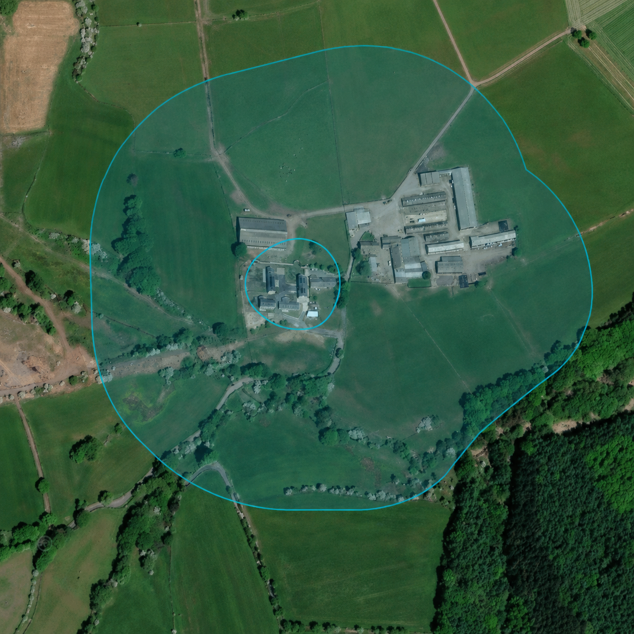
See Maplify's layers in action
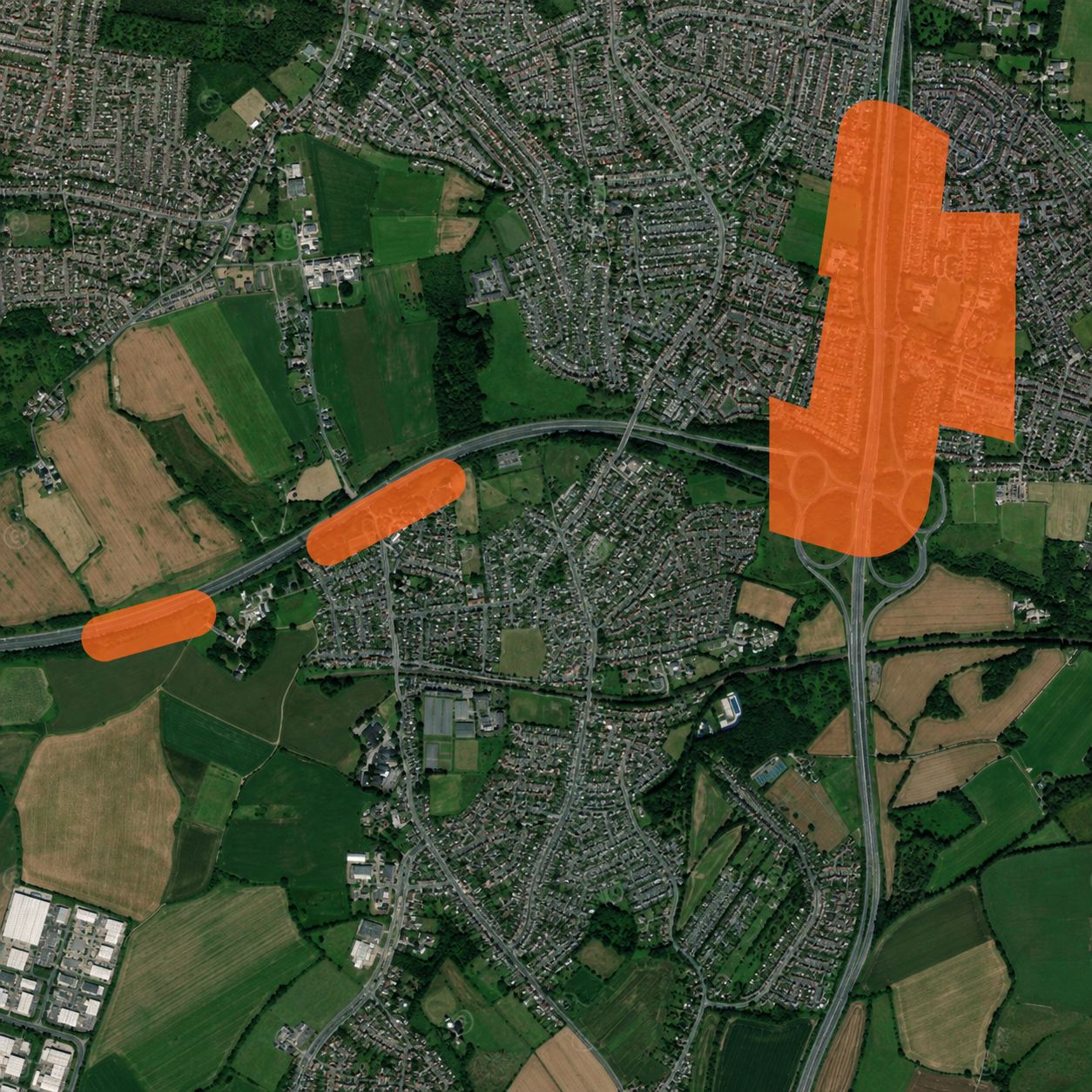
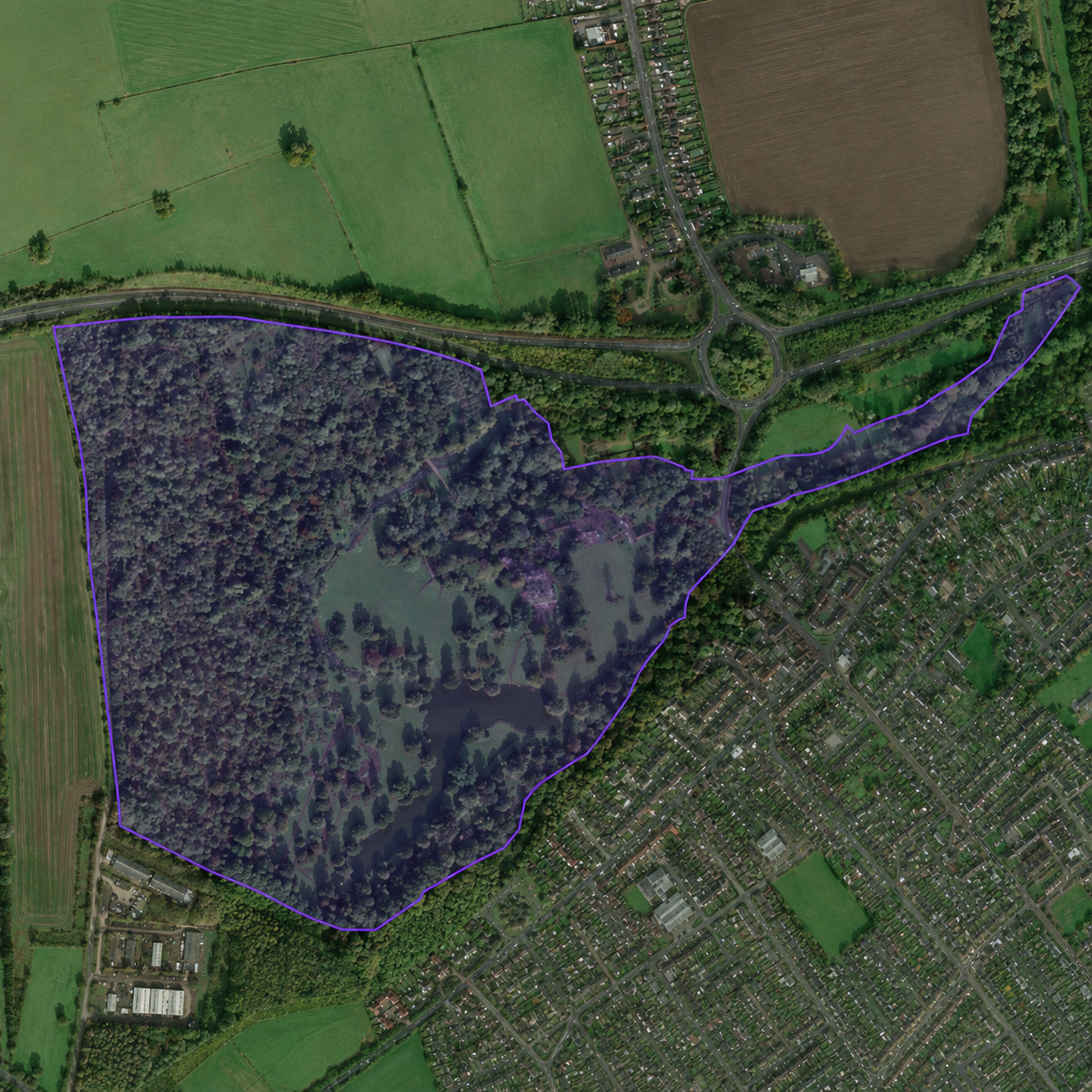
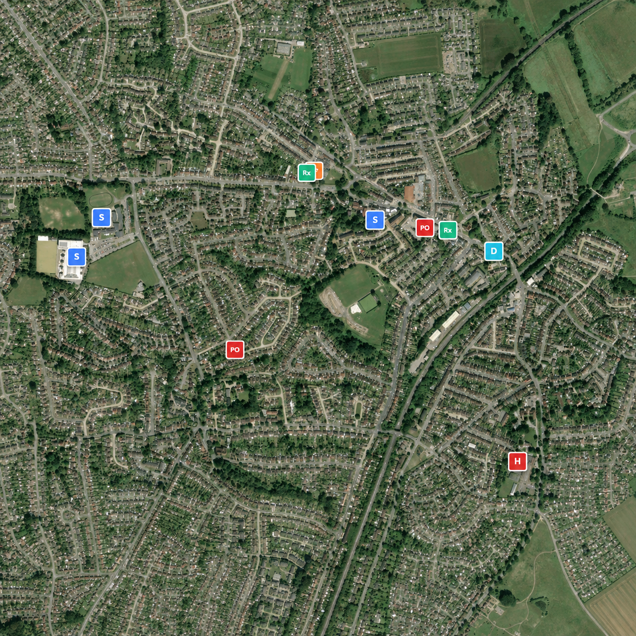
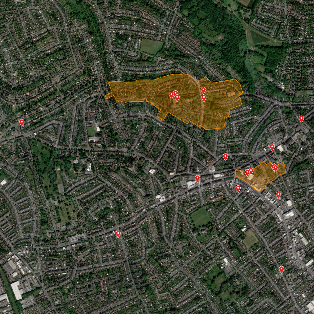
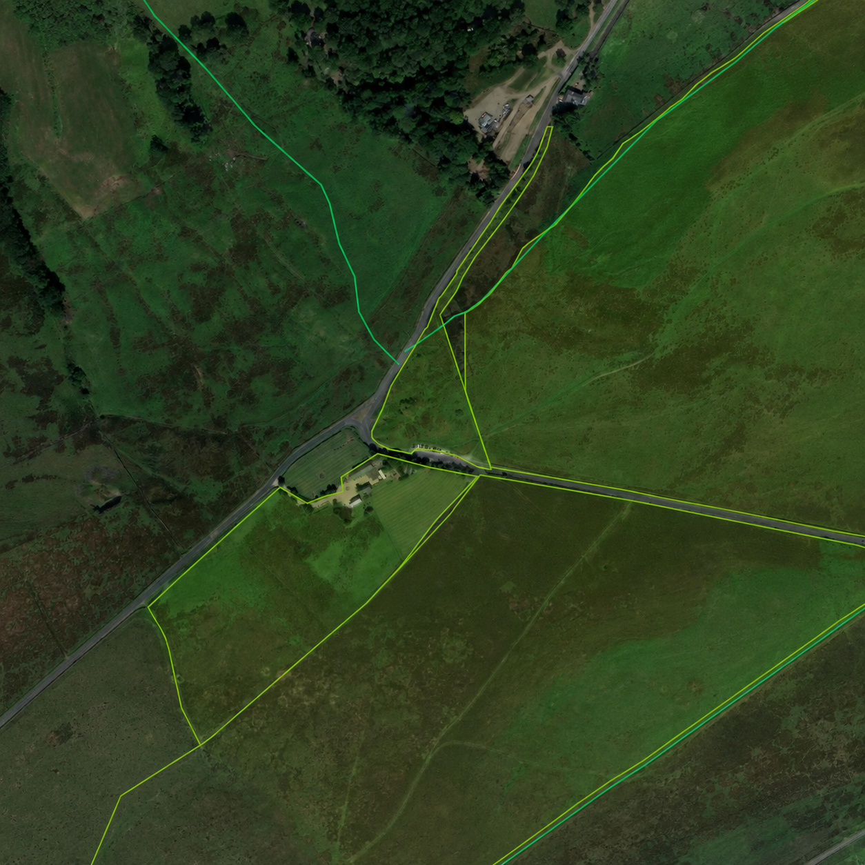
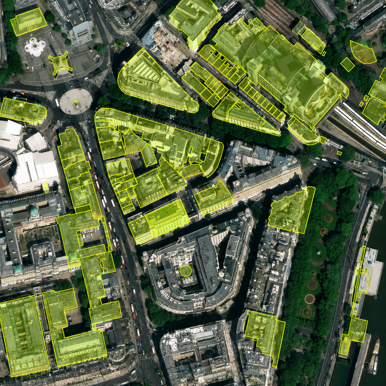
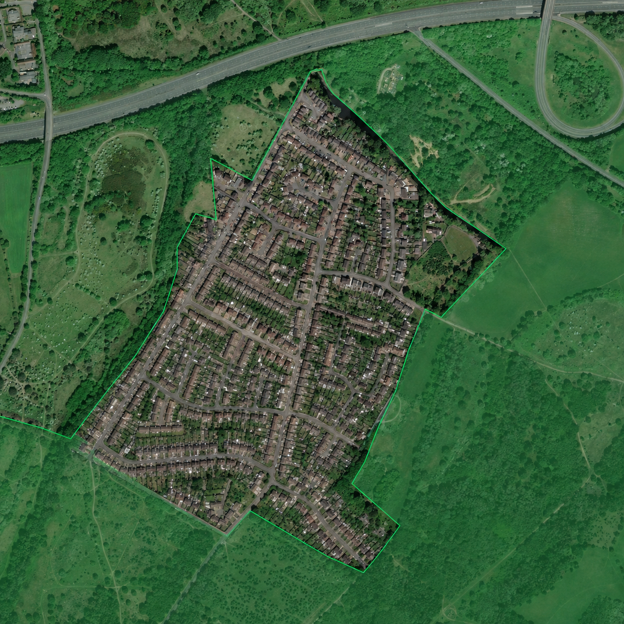
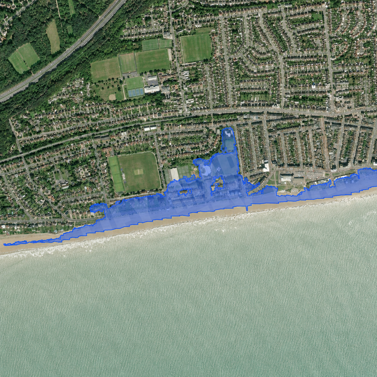
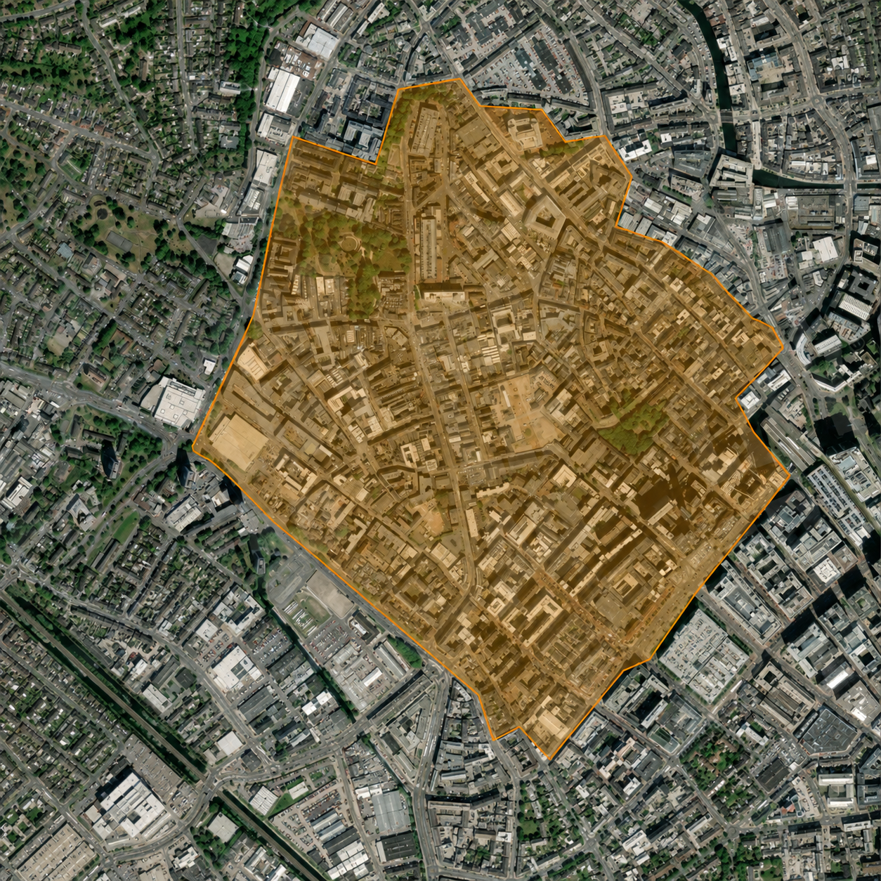
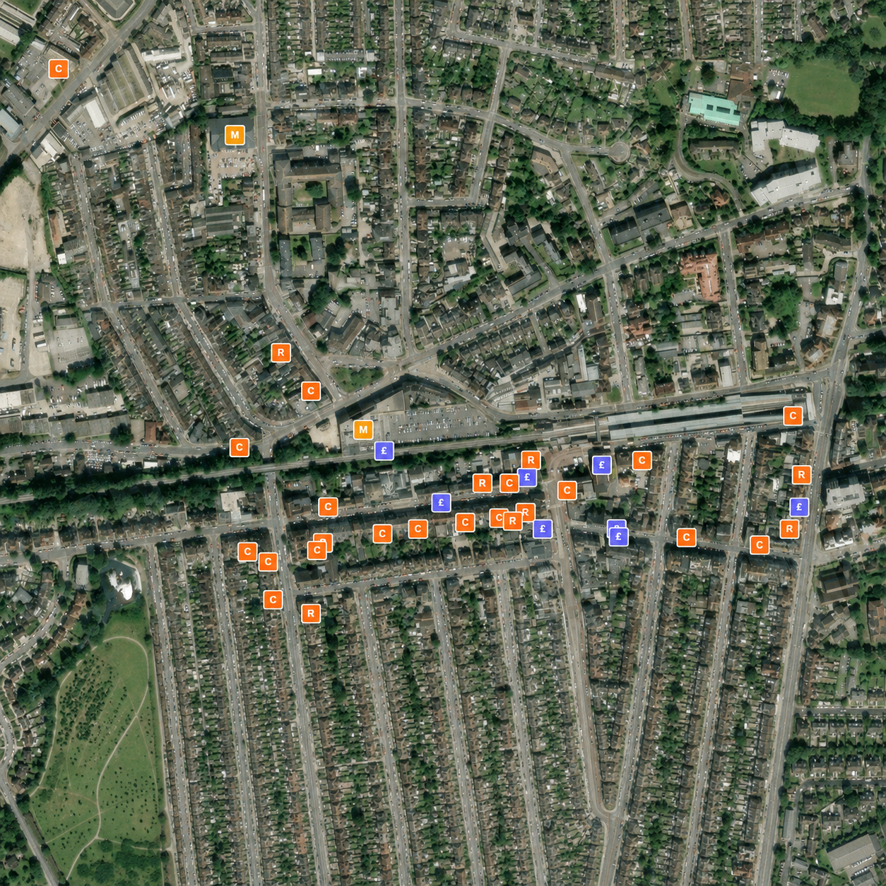
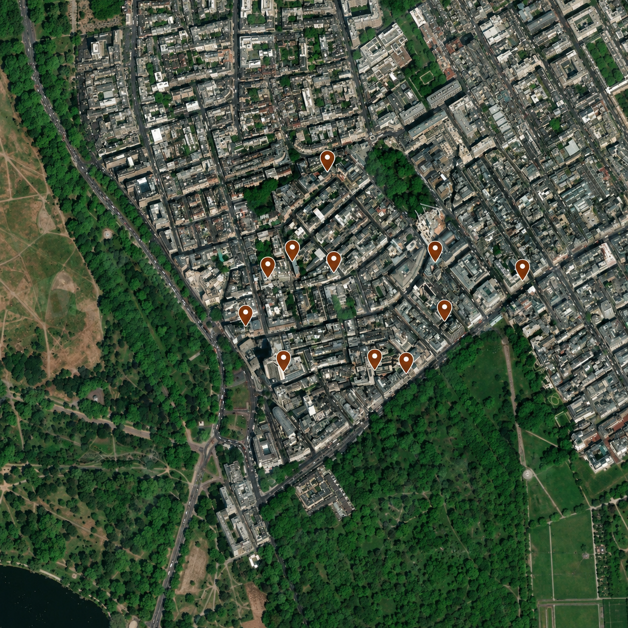
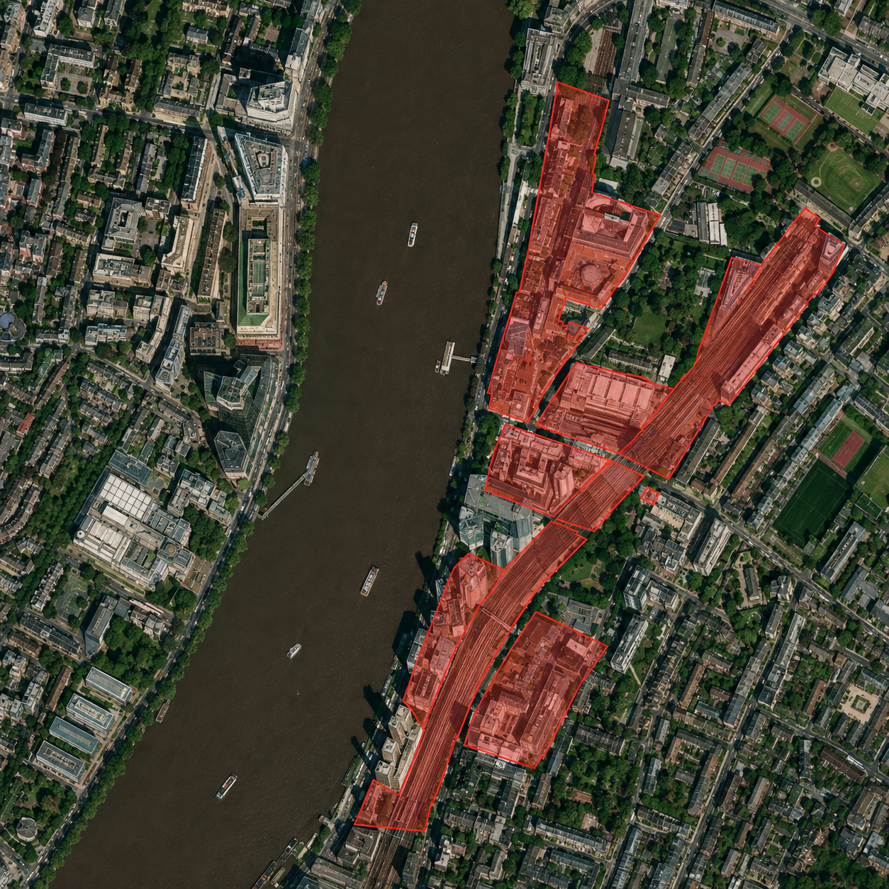
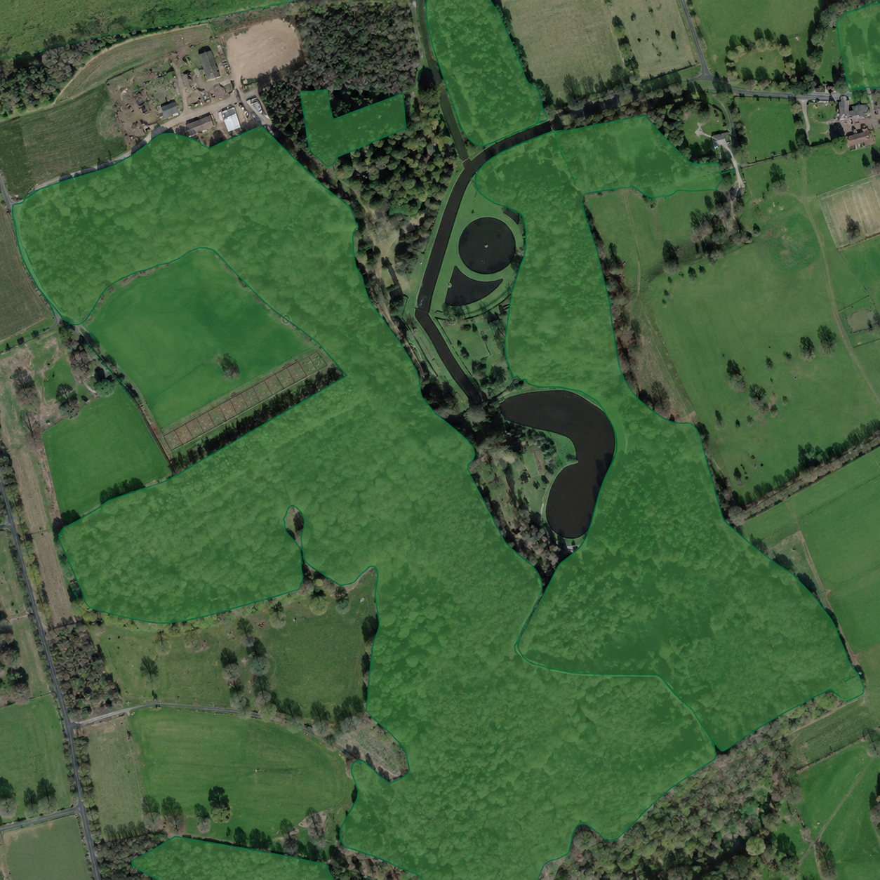
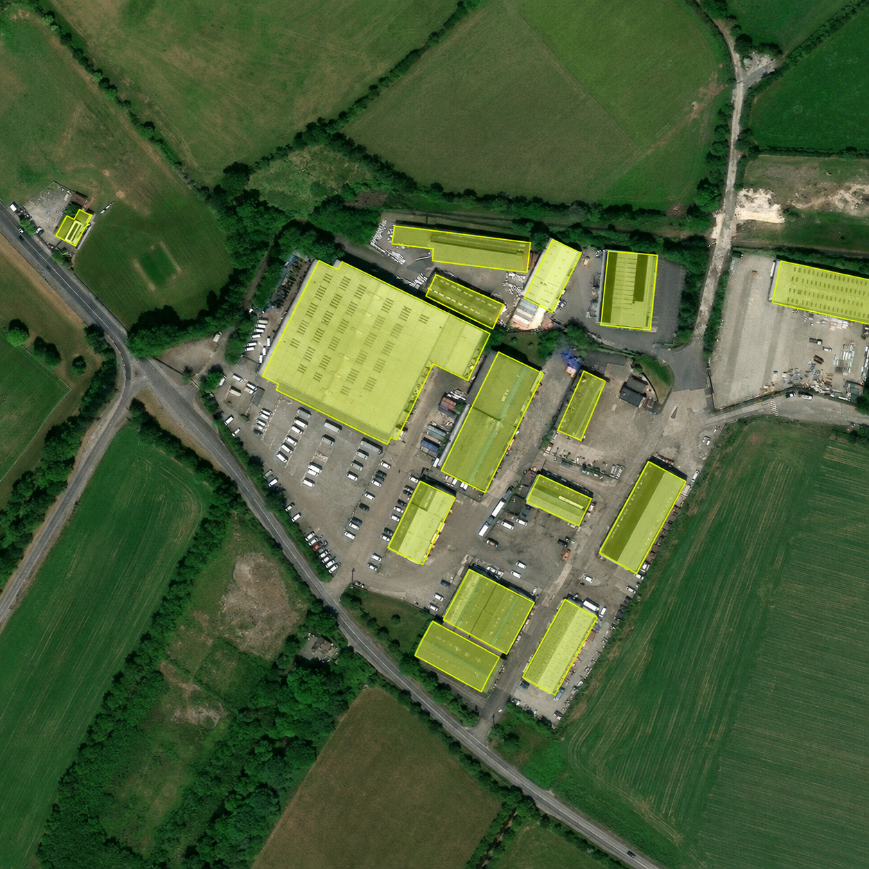
Real planning, environmental and property layers rendered live on the map — click any card to explore that layer.
How it works
From search to shared report in minutes
Search any UK location
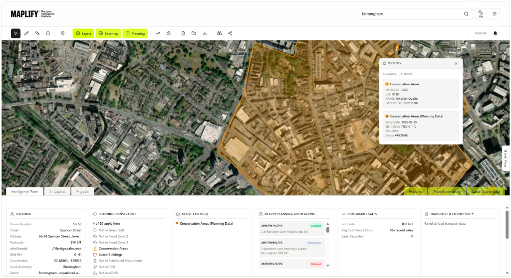
Enter a postcode, address, place or grid reference to drop straight onto the live map and reveal the property or site you are researching.
Overlay the constraints
Switch on planning, flood, heritage, ownership and environmental layers to see every designation that applies to the boundary in seconds.
Report and track
Generate a site feasibility or block plan report, save the site to your pipeline and share it with your team or client in a few clicks.
Reports
Built for every property professional
Maplify for your role
Find and qualify development sites faster
- Screen sites for Green Belt, flood, heritage and environmental constraints before offering
- Track a pipeline of sourced sites from first sight to under offer
- Generate block plans and feasibility reports for sites and appraisals
Client perspective
“We replaced days of manual constraints research with a single map search. Maplify gives our team the confidence to qualify sites before we ever pick up the phone.”
Maplify user
Property professional, UK



Get started
Start your free site search today
No card required. Search any UK postcode, address or place and see 265+ official data layers instantly.
FAQ
Questions, answered
Tools
Data Layers
Industries
The UK's Land Intelligence Platform
Maplify is the UK's land intelligence platform, giving developers, planners, surveyors and land professionals a single place to run land due diligence, site assessment and planning intelligence. Our platform integrates data from HM Land Registry, Environment Agency, Natural England, Historic England, British Geological Survey, Coal Authority and local planning authorities.
Whether you're searching for development land, checking planning constraints before acquisition, verifying land ownership, or assessing environmental and infrastructure risk, Maplify gives you the land data platform you need to move from site discovery to decision — faster.
For housebuilders and developers, Maplify screens land at scale — flagging Green Belt, flood risk and heritage constraints across a shortlist before a single site visit. For planning consultants and architects, it provides a fast, evidence-backed starting point for constraints and opportunities analysis on any instruction. For surveyors, solicitors and land promoters, it cross-references Land Registry ownership and title boundaries against live planning applications so due diligence findings are backed by official sources, not guesswork.
Explore our most-used tools: the planning constraints map, flood risk checker, Green Belt map, Land Registry ownership search and heritage & conservation area map, or browse our full library of 265+ UK data layers and due diligence guides.
Understand the Data Behind the Map
Clear sourcing matters when assessing property and planning constraints. Review where each dataset comes from, how often it updates and any limitations that apply.